Earthquake
Seismic Data and Tsunami Alert Centre
To reflect core activities and international obligations, it is proposed to rename as: SEISMIC DATA ANALYSIS CENTRE (SDAC)
Although GSMB has been involved in earthquake monitoring since the year 2000, there was no compelling reason to establish an earthquake monitoring facility on a 24/7 basis until occurrence of the 2004 disaster.
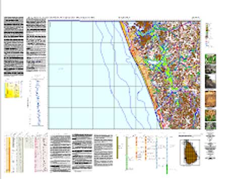
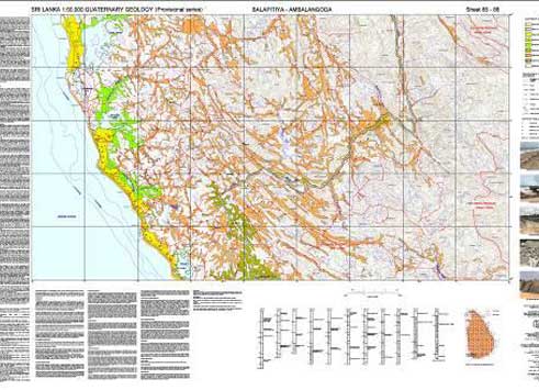
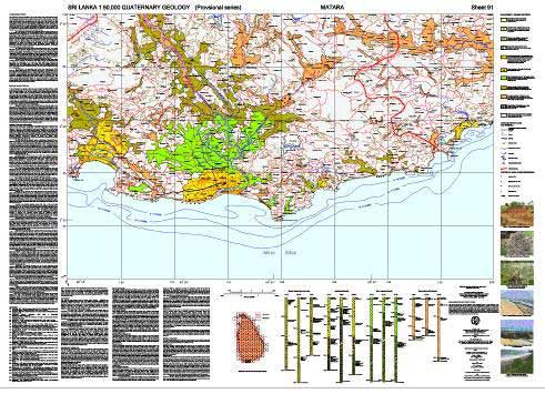
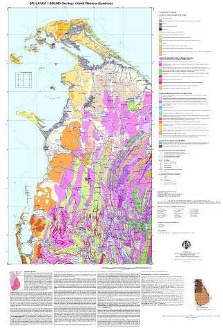
Having commenced with PALK seismic station (Fig. 2) and limited web based open monitoring facilities, two more stations, namely, MALK at Mahakandarawa in the north and HALK at Hakmana in the south (Figs. 3 and 4 respectively) have now been added.
The main function of SDAC is to provide accurate and prompt seismic activity data for relevant authorities especially of impending tsunamigenic events and to be used later for research purposes. After the 2004 tsunami disaster, the disaster management system in Sri Lanka was revised and the GSMB was mandated to perform functions related to earthquakes. Although the Mines and Minerals Act No. 33 of 1992 did not provide any provisions for the GSMB to carry out disaster management activities, when the required legal empowerment was received from the Mines and Minerals (Amendment) Act, No. 66 of 2009, the SDAC was ready to conduct systematic earthquake monitoring activities and deliver accurate information promptly.
Conducting research on Sri Lanka’s active faults and its diffuse boundary demarcating two major crystalline Complexes, suggestive of an extending mid Indian ocean platelet boundary is also another ongoing activity of the SDAC.
The SDAC is not only involved in data acquiring and data processing, but also is responsible for providing accurate earthquake parameters to relevant institutions. While developing the capacity for data acquisition and data analysing, the SDAC is in the process of increasing the number of other institutes, communities, media, etc. related to disaster management for exchanging related information.
The Centre runs on a 24/7 basis. After normal office hours, it is staffed by two officers drawn from a pool of Geophysicists, Geologists and Senior Technical Officers that have been trained either locally or overseas. They are tasked to monitor any seismic that occur specially within Sri Lanka and Indian ocean region.
Seismic Monitoring
The seismic network consists of three broadband stations including one station from Project IDA/IRIS network and other two from GEOFON seismic network. These three seismic stations are maintained by GSMB with assistance from respective parent networks. All three stations receive data globally and share with SDAC.
Note: Blue underline denotes URL access.
PALK Seismic Station
The PALK seismic station located at Pallekelle, Kandy was installed as a joint project between University of California, San Diego and GSMB in 1999.
|
Station Code
|
PALK
|
|
Location
|
Pallekelle, Kandy
|
|
Latitude
|
7.2728 N
|
|
Longitude
|
80.7022 E
|
|
Altitude
|
460 m
|
|
Commenced on
|
August 22, 2000?
|
|
Network Affiliation
|
IRIS/IDA – GSN
|
|
Network Contact
|
IDA Seismographic Network
Institute of Geophysics & Planetary Physics
University of California, San Diego
La Jolla, CA 92093-0225
|
|
Instrumentation
|
STS6, Trillium 120PH, Q330
|
HALK and MALK Seismic Stations
Two GEOFON stations, MALK (Mahakanadarawa) and HALK (Hakmana) Fig. 3 were installed by GFZ under GITEWS in year 2010.
|
Station Code
|
HALK
|
MALK
|
|
Location
|
Umangala Temple, Hakmana
|
Eithihaasika Gale Pansala, Mahakanadarawa
|
|
Latitude
|
6.08 N
|
8.39 N
|
|
Longitude
|
80.68 E
|
80.54 E
|
|
Commenced on
|
April 23, 2010
|
April 10, 2010
|
|
Network Affiliation
|
GE
|
GE
|
|
Network Contact
|
GEOFON / Section 2.4
GFZ German Research Center for Geosciences
Telegrafenberg, 14473 Potsdam
Germany
|
|
Instrumentation
|
STS-2, Q330
|
STS-2, Q330
|
The GSMB is the technical focal point in Sri Lanka to the Comprehensive Nuclear Test Ban Treaty Organization (CTBTO) based in Vienna, Austria while the SDAC/EHAC has been identified as the Sri Lankan National Data Centre.
Sri Lanka’s PALK GSN station (jointly operated by GSMB and University of California, San Diego) was certified in February 2008 as an auxiliary station within their International Monitoring System and its data used for monitoring of nuclear activities.


 The Geophysical Section is equipped with instruments for conducting Resistivity including resistivity imaging, Magnetic, Electro Magnetic (EM), Ground Penetration Radar (GPR) and Differential Global Positioning System (DGPS) Surveys for geological mapping, mineral exploration and engineering geological investigation. It is in the process of acquiring a Refraction Seismograph and other relevant equipment and necessary upgrading.
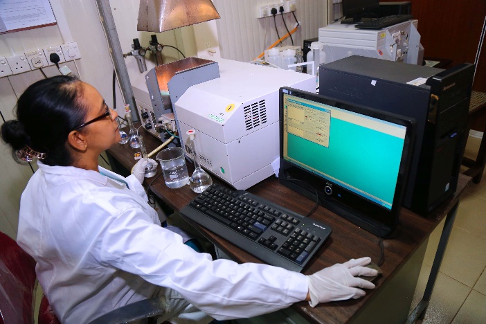 The Analytical Laboratory established by the Geological Survey Department – predecessor to the GSMB – during the mid-nineteen fifties (Link 6) pioneered in the techniques of silicate analysis in Sri Lanka. Since then we have been providing quality analytical services to the industry and scientific research ventures for over six decades.
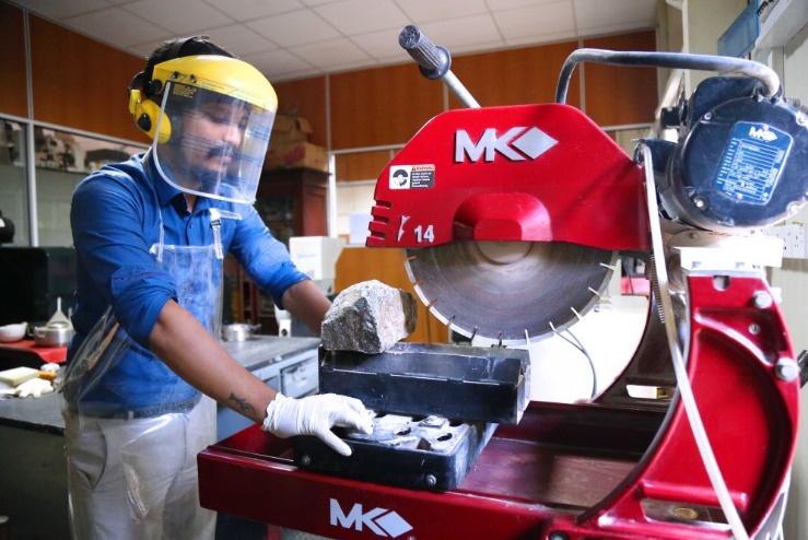 The Petrology Laboratory conducts accurate quantitative mineralogical and petrographic analyses of rocks, minerals, ores and allied materials using internationally accepted techniques and standards.